Menu
Georgia & Tennessee · Well site assessment
A better place
to begin drilling.
Water well siting combines geological insight and geophysical investigation to help you choose a drilling location with greater confidence.
For homeowners, farms, landowners, and developers.
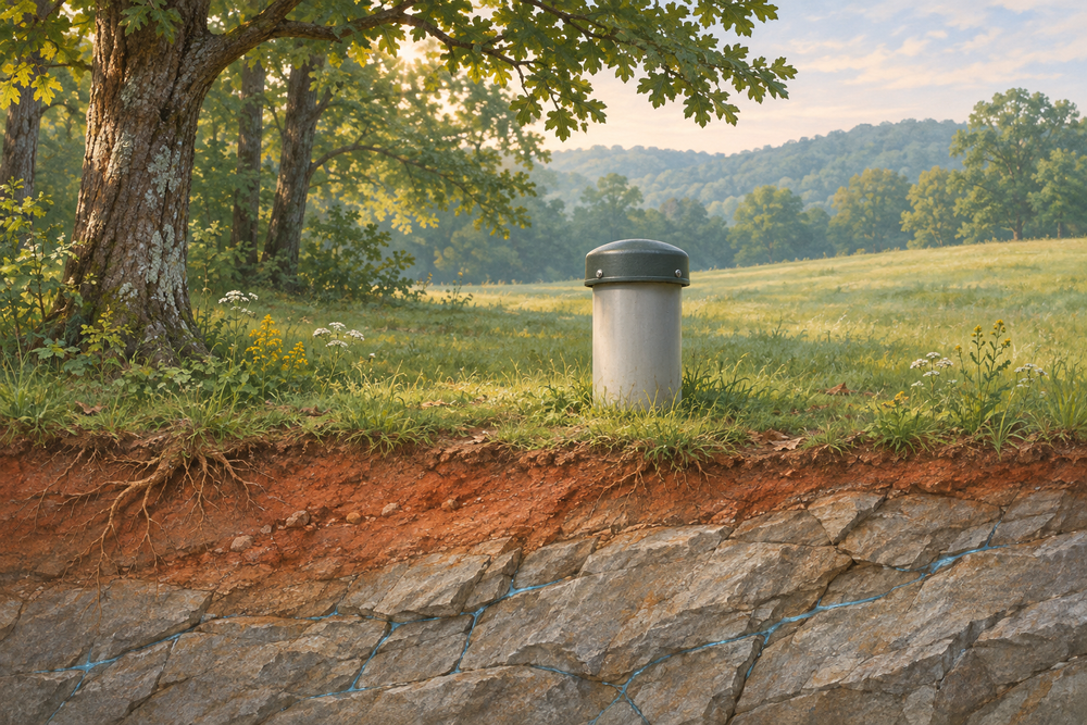
Well siting · Georgia, Tennessee & worldwide
Understand your property before you invest.
A successful well begins with understanding the ground beneath it. Hydro/Geo Explorations evaluates subsurface conditions to help identify promising locations and reduce uncertainty before drilling.
Methods may include electrical resistivity imaging and electromagnetic conductivity surveys. The appropriate approach depends on your property's geology, access, and project goals.
The assessment process
From your questions
to a practical next step.
We begin with your water needs and property information, then develop an appropriate investigation scope. Survey methods, deliverables, timing, and pricing are agreed before fieldwork.
Start with the property.
Share the location, approximate acreage, water needs, access, and any existing well records or previous drilling results.
Look beneath the surface.
Available geological information and appropriate field surveys help characterize subsurface conditions and compare possible well locations.
Plan your next move.
Discuss the findings, recommended locations, and remaining uncertainties so you can coordinate the next steps with your driller.
Clear expectations
Good science includes knowing the limits.
Geophysical surveys help interpret subsurface conditions. They cannot guarantee water, a particular yield, drilling depth, or drinking-water quality.
Drilling and appropriate testing are needed to confirm well performance and water quality. The proposal for your property will define the specific work and deliverables.
Before you get started
What should we discuss on the phone?
Your project location, state/province, country, approximate acreage, intended water use, and any existing well logs, maps, or drilling history.
Can you guarantee a productive well?
No. Groundwater conditions vary. The assessment supports more informed decisions and can reduce uncertainty; drilling and testing confirm the result.
How is the price determined?
Pricing depends on location, site size, access, geology, and the agreed investigation scope. Call us to discuss your property and the likely scope of work.
How deep will the well need to be?
Depth depends on local geology and the formations encountered. Assessment findings may inform drilling plans, but actual depth and yield are confirmed during drilling and testing.
Let's talk about your land
Your next well starts
with better information.
Call us to talk through your property, your water needs, and whether a site assessment would help.